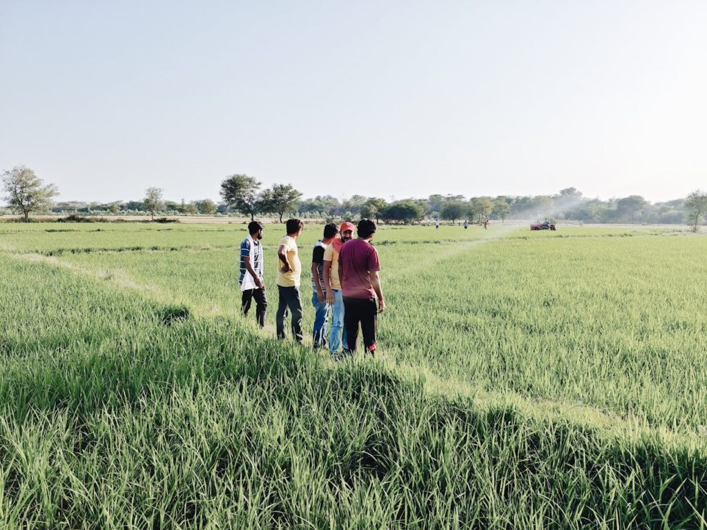
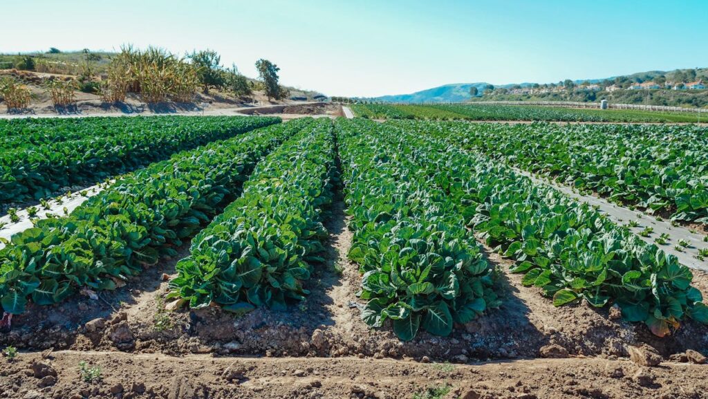
Remote Sensing and Geographic Information System (GIS) technologies have revolutionized agriculture by providing valuable insights and data-driven solutions for farm management. In India, where agriculture plays a vital role in the economy, these technologies offer powerful tools to enhance productivity, optimize resource use, and mitigate risks associated with climate variability and environmental factors.

Understanding Remote Sensing and GIS
Remote Sensing involves gathering information about the Earth’s surface using sensors aboard satellites or aircraft. These sensors capture data in various wavelengths, such as visible, infrared, and microwave, to analyze vegetation health, soil moisture, and land use patterns. GIS, on the other hand, integrates remote sensing data with geographic information to create maps, analyze spatial relationships, and make informed decisions.

Applications of Remote Sensing and GIS in Agriculture
Crop Health Monitoring: Remote sensing satellites and drones capture multispectral imagery to assess crop health, detect diseases, and monitor nutrient deficiencies. This data helps farmers identify areas requiring intervention, optimize fertilizer application, and prevent yield losses.
Precision Agriculture: GIS technology enables farmers to create precise maps of their fields based on soil properties, topography, and crop variability. Combined with remote sensing data, precision agriculture facilitates targeted application of inputs such as water, fertilizers, and pesticides, reducing costs and minimizing environmental impact.
Land Use Planning and Management: GIS tools provide insights into land suitability for crops, watershed management, and urban planning. Farmers can make informed decisions on crop selection, irrigation planning, and sustainable land use practices based on spatial analysis and modeling.
Weather and Climate Monitoring: Remote sensing data helps monitor weather patterns, predict rainfall, and assess climate risks. GIS platforms integrate weather data with agricultural practices, enabling farmers to optimize planting schedules, manage irrigation, and mitigate weather-related risks.

Benefits for Indian Farmers
Improved Decision-Making: Remote sensing and GIS provide timely and accurate information for farmers to make data-driven decisions on crop management, resource allocation, and risk mitigation strategies.
Resource Optimization: Precision agriculture techniques optimize the use of water, fertilizers, and pesticides, reducing input costs and environmental impact while maximizing crop yields.
Enhanced Productivity: Monitoring crop health and responding to early signs of stress or disease leads to improved productivity and higher-quality produce.
Sustainable Practices: GIS facilitates sustainable land management by identifying conservation areas, optimizing land use, and promoting biodiversity conservation through informed spatial planning.

Challenges and Considerations
Despite its benefits, the adoption of remote sensing and GIS in Indian agriculture faces challenges such as:
Technological Access: Limited access to satellite imagery, drones, and GIS software among small-scale farmers and rural communities may hinder widespread adoption.
Capacity Building: Farmers require training and technical support to interpret remote sensing data, use GIS tools effectively, and integrate findings into farm management practices.
Data Integration: Integrating remote sensing data with ground-level observations and farmer knowledge requires robust data management systems and collaborative efforts.

Government Initiatives and Support
The Indian government has launched initiatives to promote the use of remote sensing and GIS in agriculture:
National Agricultural Policy: Emphasizes the adoption of technology-driven solutions, including remote sensing and GIS, to modernize agriculture and enhance productivity.
National Remote Sensing Centre (NRSC): Provides satellite data, services, and applications to support agricultural planning, crop monitoring, and natural resource management.
Capacity Building Programs: Training programs and workshops are conducted to build farmers’ and stakeholders’ capacity in utilizing remote sensing and GIS for farm management and decision-making.

Future Outlook
The future of remote sensing and GIS in Indian agriculture is promising, with ongoing advancements and innovations:
Integration with IoT and AI: Combining remote sensing and GIS with Internet of Things (IoT) devices and Artificial Intelligence (AI) algorithms will enhance real-time monitoring, predictive analytics, and automation in agriculture.
Data-driven Agriculture: Big data analytics and machine learning will enable more precise predictions, personalized recommendations, and automated decision-making based on vast datasets generated by remote sensing and GIS technologies.
Policy Support and Collaboration: Continued policy support, public-private partnerships, and collaboration between research institutions, technology providers, and farmers will drive innovation and adoption of these technologies.

Conclusion
Remote sensing and GIS technologies represent transformative tools for modernizing Indian agriculture, enhancing productivity, and promoting sustainable practices. By leveraging spatial data, satellite imagery, and advanced analytics, farmers can optimize resource use, mitigate risks, and contribute to food security and economic growth in India.
In conclusion, embracing remote sensing and GIS in agriculture holds immense potential to empower Indian farmers, improve livelihoods, and ensure environmental sustainability for future generations.